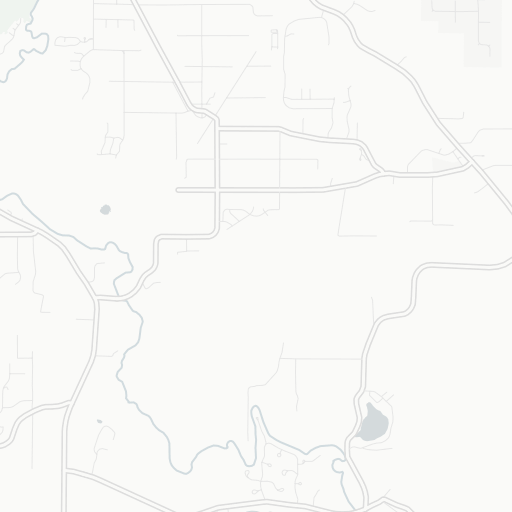
14WA Lz Ranch Airport VFR

  • Name
    Lz Ranch Airport
  • ICAO / GPS
    14WA / 14WA
  • Type
  • Restriction
  • Region
  • Timezone
    10:20 pm (PST)
  • Municipality
    Olympia
  • Coordinates
    46° 58′ 14″ N 122° 44′ 13″ W
  • Elevation
    240 ft (73 m MSL)
3 km
2 mi
Leaflet © OpenStreetMap contributors © CARTO | Data by airportmap.de
Information on this website is for private use only. Do not use for real life flight.
arrow_upward