
-
Name
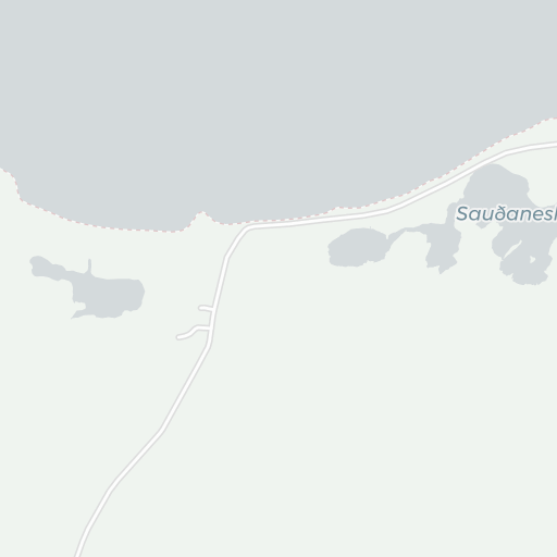
Sauðanes Airport
-
ICAO
BITH
- Type
- Region
-
Timezone
5:11 am (GMT)
-
Municipality
Þórshöfn
-
Coordinates
66° 15′ 6″ N 15° 16′ 26″ W
-
Elevation
15 ft (5 m MSL)


2 km
1 mi
About Sauðanes Airport
Þórshöfn Airport (Icelandic: Þórshafnarflugvöllur Icelandic pronunciation: [ˈθour̥sˌhapnarˌflʏɣˌvœtlʏr̥]) (IATA: THO, ICAO: BITN) is an airport located in Þórshöfn, a village in northeast Iceland. It is also referred to as Thorshofn Airport in many English-language sources.
© Wikipedia | CC-by-SA-3.0 | Read more …