
-
Name
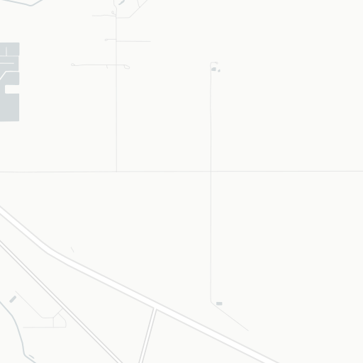
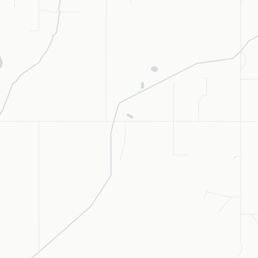
Brooks (Community Health Centre) Heliport
-
ICAO / GPS
CFV8 / CFV8
- Type
- Region
-
Timezone
6:36 am (MST)
-
Municipality
Brooks
-
Coordinates
50° 34′ 7″ N 111° 53′ 17″ W
-
Elevation
2’498 ft (761 m MSL)


3 km
2 mi