
-
Name
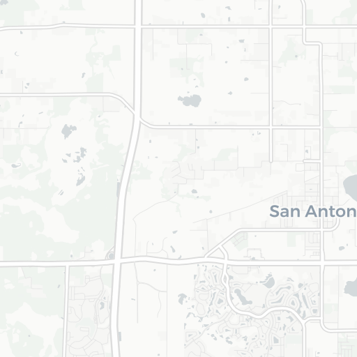
Pilot Country Airport
-
ICAO / GPS
KX05 / X05
- Type
- Region
-
Timezone
11:31 pm (EST)
-
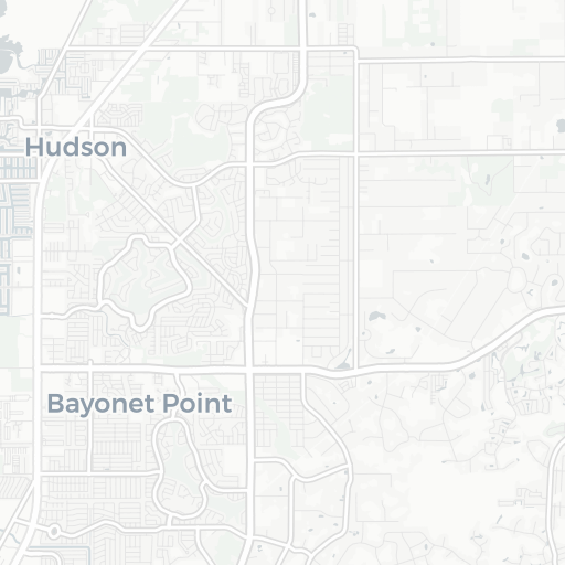
Municipality
Brooksville
-
Coordinates
28° 19′ 49″ N 82° 29′ 47″ W
-
Elevation
80 ft (24 m MSL)
3 km
2 mi