
Carsten Steger (2021), CC BY-SA 4.0, via Wikimedia Commons
-
Name
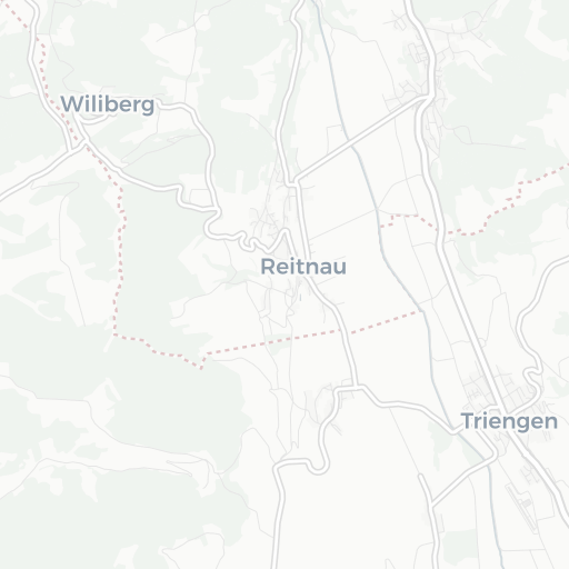
Flugplatz Triengen
-
ICAO / GPS
LSPN / LSPN
- Type
- Restriction
- Region
-
Timezone
12:27 am (CET)
-
Coordinates
47° 13′ 36″ N 8° 4′ 41″ E
-
Elevation
1’594 ft (486 m MSL)


3 km
2 mi
About Flugplatz Triengen
Triengen is a municipality in the district of Sursee in the canton of Lucerne in Switzerland.
On 1 January 2005, Triengen merged with the municipalities of Kulmerau and Wilihof, the new municipality was known as Triengen. Then on 1 January 2009 Triengen and Winikon merged, again keeping the name of Triengen.
© Wikipedia | CC-by-SA-3.0 | Read more …