
-
Name
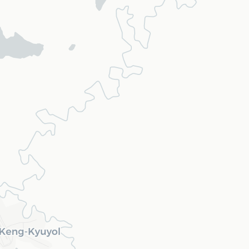
Keng-Kyuyol Airport
-
ICAO / GPS
UEKY / UEKY
- Type
- Region
-
Timezone
4:12 am (MAGT)
-
Municipality
Keng-Kyuyol
-
Coordinates
68° 4′ 36″ N 145° 59′ 6″ E
-
Elevation
102 ft (31 m MSL)


1 km
1 mi