
-
Name
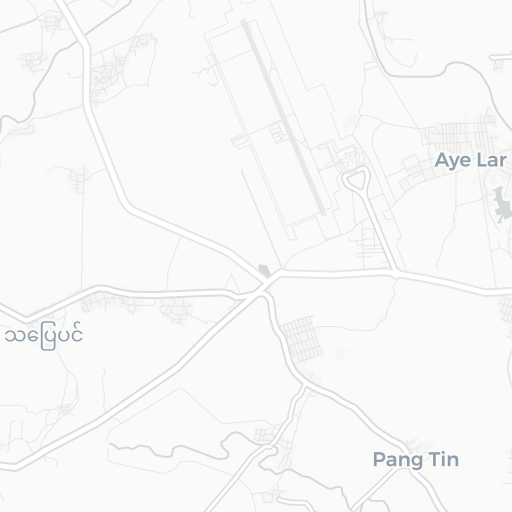
Nay Pyi Taw International Airport
-
ICAO / IATA / GPS
VYEL / NYT / VYNT
- Type
- Restriction
- Region
-
Timezone
7:40 pm (MMT)
-
Municipality
Pyinmana
-
Coordinates
19° 37′ 24″ N 96° 12′ 3″ E
-
Elevation
302 ft (92 m MSL)

5 km
3 mi
About Nay Pyi Taw International Airport
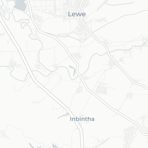
Naypyidaw International Airport, officially spelled Nay Pyi Taw (IATA: NYT, ICAO: VYNT), (Burmese: နေပြည်တော် အပြည်ပြည်ဆိုင်ရာ လေဆိပ်; previously known as Ela Airport), is located 16 kilometers (10 mi) southeast of Nay Pyi Taw, the capital of Myanmar. Before the foundation of Naypyidaw, it was known as the airport of the nearby town of Lewe. The airport officially opened on 19 December 2011. The airport's air traffic control tower collapsed during the 2025 Myanmar earthquake, killing six.
© Wikipedia | CC-by-SA-3.0 | Read more …