
-
Name
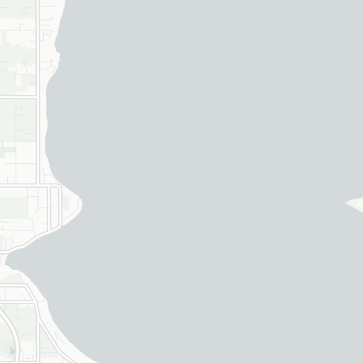
Lake Union Heliport
-
ICAO / GPS
WN22 / WN22
- Type
- Region
-
Timezone
10:15 am (PST)
-
Municipality
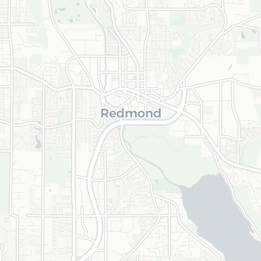
Seattle
-
Coordinates
47° 39′ 8″ N 122° 19′ 22″ W
-
Elevation
52 ft (16 m MSL)


3 km
2 mi