
-
Name
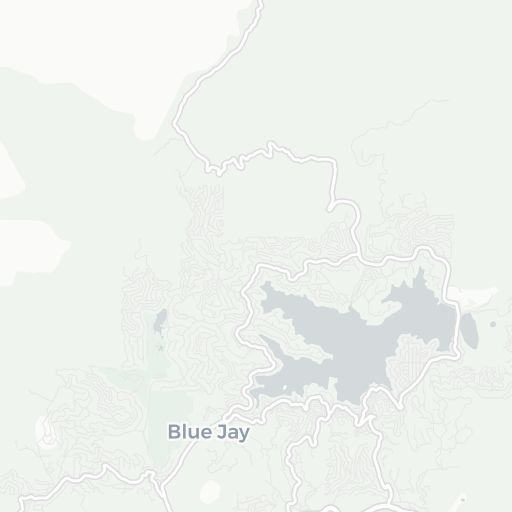
Lake Arrowhead Airport
-
ICAO / GPS
2CN8 / 2CN8
- Type
- Restriction
- Region
-
Timezone
12:19 pm (PST)
-
Municipality
Lake Arrowhead
-
Coordinates
34° 18′ 15″ N 117° 9′ 5″ W
-
Elevation
4’610 ft (1’405 m MSL)


3 km
2 mi